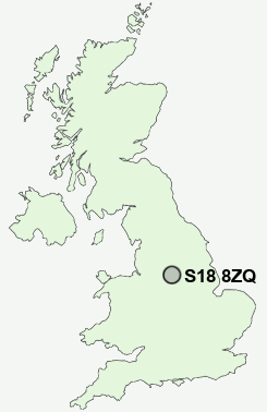
Postcode : S18 8ZQ, Dronfield, Derbyshire
Pentland Road, Dronfield, Derbyshire.
S18 8ZQ close to Dronfield Woodhouse, Gosforth Valley, Cowley, Cartledge, Holmesfield and Mickley.
Classification
S18 8ZQ : Suburbanites / Semi-detached suburbia / Older workers and retirement
Local Authority North East Derbyshire
Primary Care Trust Derbyshire County
Ward Gosforth Valley
Constituency North East Derbyshire
Region East Midlands
Country England
Postcode Area S : Sheffield
S18 Postcode Sectors
S18 4 Apperknowle, Hundall, Summerley, Unstone, Unstone Green
S18 7 Barlow, Bole Hill, Brindwoodgate, Cartledge, Common Side
S18 3 Coal Aston
S18 7 Barlow, Bole Hill, Brindwoodgate, Cartledge, Common Side
S18 3 Coal Aston
S18 8 Cowley, Dronfield Woodhouse, Gosforth Valley, Mickley
S18 2 Dronfield, Holmesdale, Holmley Common, Snape Hill
S18 1 Hallowes, Hill Top
S18 2 Dronfield, Holmesdale, Holmley Common, Snape Hill
S18 1 Hallowes, Hill Top
S18 8ZQ Nearby Postcode Districts
DE45 NG20 S1 S10 S11 S12 S13 S14 S17 S18 S2 S20 S21 S25 S26 S3 S32 S33 S4 S40 S41 S43 S44 S7 S8 S80 S81 S9 SK17
Stations near to S18 8ZQ
Dronfield Rail Station about 1.07 miles away.Dore & Totley Rail Station about 1.98 miles away.
S18 8ZQ Schools
William Levick Primary SchoolDronfield Junior School
Dronfield Infant School
Lenthall Infant and Nursery School
Penny Acres Primary School
Bradway Primary School
Holmesdale Infant School
Dronfield Stonelow Junior School
Northfield Junior School
Greenhill Primary School
UK Search
Antique Furniture
1000s of pieces of Antique Furniture for sale from British antique dealers.