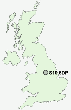
Postcode : S10 5DP, Sheffield, South Yorkshire
Manchester Road, Sheffield.
S10 5DP close to Tapton Hill, Crookes, Ranmoor, Sandygate, Crookesmoor and Steel Bank.
Classification
S10 5DP : Cosmopolitans / Students around campus / Student communal living
Local Authority Sheffield
Primary Care Trust Sheffield
Ward Fulwood
Constituency Sheffield, Hallam
Region Yorkshire and The Humber
Country England
Postcode Area S : Sheffield
S10 Postcode Sectors
S10 5DP Nearby Postcode Districts
S1 S10 S11 S12 S13 S14 S17 S18 S2 S20 S21 S25 S26 S3 S32 S33 S35 S4 S5 S6 S60 S61 S62 S65 S66 S7 S8 S80 S81 S9
Stations near to S10 5DP
Dore & Totley Rail Station about 3.4 miles away.S10 5DP Schools
King Edward VII SchoolGreystones Primary School
Hallam Primary School
High Storrs School
Netherthorpe Primary School
Malin Bridge Primary School
Sharrow Nursery, Infant and Junior School
Stannington Infant School
Nook Lane Junior School
UK Search
Antique Furniture
1000s of pieces of Antique Furniture for sale from British antique dealers.