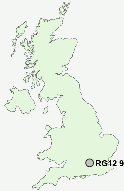
Postcode : RG12 9NE, Bracknell, Bracknell Forest, Berkshire
Wellington Drive, Bracknell.
RG12 9NE close to Crown Wood, Harmans Water, Birch Hill, Easthampstead, Wildridings and Bullbrook.
Classification
RG12 9NE : Hard-pressed living / Migration and churn / Hard-pressed ethnic mix
Local Authority Bracknell Forest
Primary Care Trust Berkshire East
Ward Harmans Water
Constituency Bracknell
Region South East
Country England
Postcode Area RG : Reading
RG12 Postcode Sectors
RG12 8 Amen Corner, Great Hollands, Popeswood
RG12 7 Birch Hill, Bracknell, Easthampstead, Hanworth, Wildridings
RG12 7 Birch Hill, Bracknell, Easthampstead, Hanworth, Wildridings
RG12 9NE Nearby Postcode Districts
GU15 GU16 GU17 GU18 GU19 GU20 GU21 GU22 GU24 GU25 GU46 GU47 KT10 KT11 KT12 KT13 KT14 KT15 KT16 KT8 RG1 RG10 RG12 RG2 RG26 RG30 RG31 RG4 RG40 RG41 RG42 RG45 RG5 RG6 RG7 SL3 SL4 SL5 TW12 TW13 TW14 TW15 TW16 TW17 TW18 TW19 TW2 TW20 TW3 TW4 TW5 TW6 UB2
Stations near to RG12 9NE
Martins Heron Rail Station about 0.56 miles away.Bracknell Rail Station about 0.99 miles away.
Bagshot Rail Station about 3.34 miles away.
RG12 9NE Schools
Harmans Water Primary SchoolCrown Wood Primary School
Fox Hill Primary School
The Brakenhale School
Holly Spring Junior School
Holly Spring Infant and Nursery School
Birch Hill Primary School
Wildridings Primary School
Garth Hill College
The Pines Primary School
Great Hollands Primary School
UK Search
Antique Furniture
1000s of pieces of Antique Furniture for sale from British antique dealers.