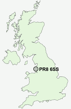
Postcode : PR8 6SS, Blowick, Sefton, Merseyside
Hampton Road, Southport.
PR8 6SS close to Blowick and Birkdale.
Classification
PR8 6SS : Urbanites / Ageing urban living / Delayed retirement
Local Authority Sefton
Primary Care Trust Sefton
Ward Kew
Constituency Southport
Region North West
Country England
Postcode Area PR : Preston
PR8 Postcode Sectors
PR8 6SS Nearby Postcode Districts
L37 L39 L40 PR25 PR26 PR5 PR6 PR7 PR8 PR9 WN1 WN6 WN8
Stations near to PR8 6SS
Southport Rail Station about 0.51 miles away.Meols Cop Rail Station about 0.75 miles away.
Birkdale Rail Station about 1.05 miles away.
Hillside Rail Station about 1.9 miles away.
PR8 6SS Schools
Norwood Primary SchoolMeols Cop High School
Birkdale Primary School
Kew Woods Primary School
Churchtown Primary School
UK Search
Antique Furniture
1000s of pieces of Antique Furniture for sale from British antique dealers.