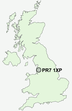
Postcode : PR7 1XP, Chorley, Lancashire
Chorley, Lancashire.
Classification
PR7 1XP : Constrained city dwellers / Ageing city dwellers / Retired independent city dwellers
Local Authority Chorley
Primary Care Trust Central Lancashire
Ward Astley and Buckshaw
Constituency Chorley
Region North West
Country England
Postcode Area PR : Preston
PR7 Postcode Sectors
PR7 5 Andertons Mill, Bolton Green, Charnock Green, Charnock Richard, Coppull Moor
PR7 3 Birkacre, Weld Bank
PR7 1 Chorley
PR7 3 Birkacre, Weld Bank
PR7 1 Chorley
PR7 1XP Nearby Postcode Districts
BB1 BB2 BB3 BB4 BB5 BL0 BL1 BL2 BL3 BL6 BL7 BL8 BL9 FY8 L39 L40 M26 PR1 PR25 PR26 PR4 PR5 PR6 PR7 PR8 PR9 WN6
Stations near to PR7 1XP
Chorley Rail Station about 0.99 miles away.Buckshaw Parkway Rail Station about 1.03 miles away.
Euxton Balshaw Lane Rail Station about 1.07 miles away.
Leyland Rail Station about 3.09 miles away.
Adlington (Lancs) Rail Station about 3.76 miles away.
PR7 1XP Schools
Buckshaw Primary SchoolParklands High School
Balshaw Lane Community Primary School
Gillibrand Primary School
Highfield Primary School
Duke Street Primary School
Ar-Rahmah Academy
Southlands High School
Albany Science College
Euxton Primrose Hill Primary School
UK Search
Antique Furniture
1000s of pieces of Antique Furniture for sale from British antique dealers.