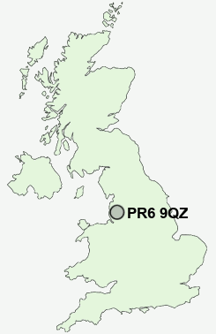
Postcode : PR6 9QZ, Adlington, Lancashire
Railway Road, Adlington, Chorley.
PR6 9QZ close to Anderton and Grimeford Village.
Classification
PR6 9QZ : Urbanites / Ageing urban living / Communal retirement
Local Authority Chorley
Primary Care Trust Central Lancashire
Ward Adlington and Anderton
Constituency Chorley
Region North West
Country England
Postcode Area PR : Preston
PR6 Postcode Sectors
PR6 8 Abbey Village, Brindle, Brinscall, Higher Wheelton, Jack Green
PR6 9 Adlington, Anderton, Grimeford Village, Lane Ends, Limbrick
PR6 9 Adlington, Anderton, Grimeford Village, Lane Ends, Limbrick
PR6 9QZ Nearby Postcode Districts
BB3 BB4 BL0 BL1 BL2 BL3 BL4 BL5 BL6 BL7 BL8 BL9 L39 L40 M25 M26 M38 M45 M46 M9 OL10 OL13 PR25 PR26 PR6 PR7 PR9 WN1 WN2 WN3 WN5 WN6 WN8
Stations near to PR6 9QZ
Adlington (Lancs) Rail Station about 0.25 miles away.Blackrod Rail Station about 2.13 miles away.
Chorley Rail Station about 2.72 miles away.
PR6 9QZ Schools
Anderton Primary SchoolSt Joseph's Catholic Primary School, Anderton
Adlington Primary School
Rivington Foundation Primary School
Holy Cross Catholic High School, A Sports and Science College
UK Search
Antique Furniture
1000s of pieces of Antique Furniture for sale from British antique dealers.