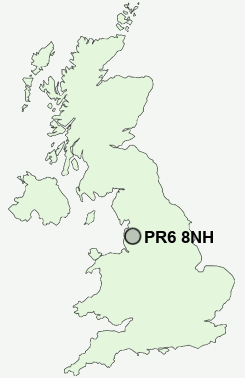
Postcode : PR6 8NH, Adlington, Lancashire
Brindle, Chorley, Lancashire.
PR6 8NH close to Brindle, Pippin Street, Thorpe Green, Top o'th' Lane, Jack Green and Ollerton Fold.
Classification
PR6 8NH : Rural residents / Farming communities / Agricultural communities
Local Authority Chorley
Primary Care Trust Central Lancashire
Ward Brindle and Hoghton
Constituency Chorley
Region North West
Country England
Postcode Area PR : Preston
PR6 Postcode Sectors
PR6 8 Abbey Village, Brindle, Brinscall, Higher Wheelton, Jack Green
PR6 9 Adlington, Anderton, Grimeford Village, Lane Ends, Limbrick
PR6 9 Adlington, Anderton, Grimeford Village, Lane Ends, Limbrick
PR6 8NH Nearby Postcode Districts
BB1 BB10 BB11 BB12 BB2 BB3 BB4 BB5 BB6 BL0 BL7 FY8 PR1 PR2 PR25 PR26 PR4 PR5 PR6 PR7 PR9
PR6 8NH Schools
Brindle St James' Church of England Voluntary Aided Primary SchoolWithnell Fold Primary School
Clayton Brook Primary School
Westwood Primary School
St Joseph's Catholic Primary School, Brindle
St Bede's Catholic Primary School
Brindle Gregson Lane Primary School
Clayton-le-Woods Manor Road Primary School
UK Search
Antique Furniture
1000s of pieces of Antique Furniture for sale from British antique dealers.