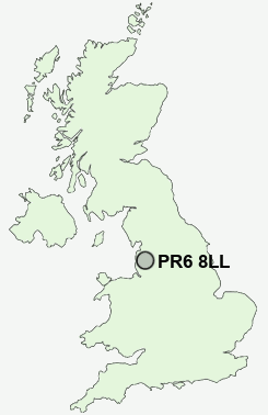
Postcode : PR6 8LL, Adlington, Lancashire
Blackburn Road, Whittle-le-Woods, Chorley.
PR6 8LL close to Johnson's Hillock, Lower Copthurst, Wheelton, Lucas Green and Whittle-le-Woods.
Classification
PR6 8LL : Rural residents / Rural tenants / Rural white-collar workers
Local Authority Chorley
Primary Care Trust Central Lancashire
Ward Pennine
Constituency Chorley
Region North West
Country England
Postcode Area PR : Preston
PR6 Postcode Sectors
PR6 8 Abbey Village, Brindle, Brinscall, Higher Wheelton, Jack Green
PR6 9 Adlington, Anderton, Grimeford Village, Lane Ends, Limbrick
PR6 9 Adlington, Anderton, Grimeford Village, Lane Ends, Limbrick
PR6 8LL Nearby Postcode Districts
BB1 BB2 BB3 BB4 BB5 BL0 BL1 BL2 BL6 BL7 BL8 BL9 FY8 L40 OL10 PR1 PR2 PR25 PR26 PR4 PR5 PR6 PR7 PR8 PR9
Stations near to PR6 8LL
Buckshaw Parkway Rail Station about 2.1 miles away.Chorley Rail Station about 2.14 miles away.
Bamber Bridge Rail Station about 3.68 miles away.
PR6 8LL Schools
Chorley St Peter's Church of England Primary SchoolWithnell Fold Primary School
Clayton-le-Woods Manor Road Primary School
Highfield Primary School
UK Search
Antique Furniture
1000s of pieces of Antique Furniture for sale from British antique dealers.