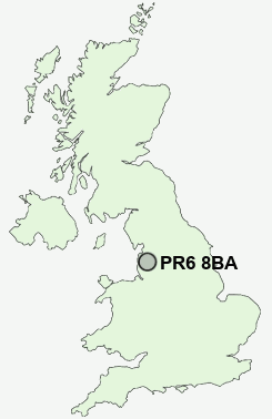
Postcode : PR6 8BA, Adlington, Lancashire
Withnell, Withnell Fold, Chorley.
PR6 8BA close to Ollerton Fold, Withnell Fold, Higher Wheelton and Wheelton.
Classification
PR6 8BA : Rural residents / Rural tenants / Rural white-collar workers
Local Authority Chorley
Primary Care Trust Central Lancashire
Ward Wheelton and Withnell
Constituency Chorley
Region North West
Country England
Postcode Area PR : Preston
PR6 Postcode Sectors
PR6 8 Abbey Village, Brindle, Brinscall, Higher Wheelton, Jack Green
PR6 9 Adlington, Anderton, Grimeford Village, Lane Ends, Limbrick
PR6 9 Adlington, Anderton, Grimeford Village, Lane Ends, Limbrick
PR6 8BA Nearby Postcode Districts
BB1 BB10 BB11 BB2 BB3 BB4 BB5 BB6 BL0 BL7 BL8 OL13 PR1 PR2 PR25 PR26 PR4 PR5 PR6 PR7 PR9
Stations near to PR6 8BA
Pleasington Rail Station about 2.7 miles away.Chorley Rail Station about 3.77 miles away.
PR6 8BA Schools
Withnell Fold Primary SchoolBrindle St James' Church of England Voluntary Aided Primary School
Brinscall St John's CofE and Methodist Primary School
St Joseph's Catholic Primary School, Withnell
St Chad's Catholic Primary School
UK Search
Antique Furniture
1000s of pieces of Antique Furniture for sale from British antique dealers.