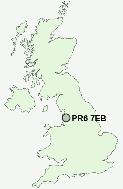
Postcode : PR6 7EB, Adlington, Lancashire
Preston Road, Clayton-le-Woods, Chorley.
PR6 7EB close to Clayton Green, Thorpe Green and Top o'th' Lane.
Classification
PR6 7EB : Suburbanites / Semi-detached suburbia / Older workers and retirement
Local Authority Chorley
Primary Care Trust Central Lancashire
Ward Clayton-le-Woods North
Constituency Chorley
Region North West
Country England
Postcode Area PR : Preston
PR6 Postcode Sectors
PR6 8 Abbey Village, Brindle, Brinscall, Higher Wheelton, Jack Green
PR6 9 Adlington, Anderton, Grimeford Village, Lane Ends, Limbrick
PR6 9 Adlington, Anderton, Grimeford Village, Lane Ends, Limbrick
PR6 7EB Nearby Postcode Districts
BB1 BB11 BB12 BB2 BB3 BB4 BB5 BB6 BL0 BL7 FY4 FY8 PR1 PR2 PR25 PR26 PR4 PR5 PR6 PR7 PR8 PR9
Stations near to PR6 7EB
Bamber Bridge Rail Station about 1.63 miles away.Leyland Rail Station about 2.04 miles away.
Lostock Hall Rail Station about 2.31 miles away.
Buckshaw Parkway Rail Station about 2.49 miles away.
Euxton Balshaw Lane Rail Station about 3.49 miles away.
PR6 7EB Schools
St Bede's Catholic Primary SchoolWestwood Primary School
Clayton-le-Woods Manor Road Primary School
Clayton Brook Primary School
Lancaster Lane Community Primary School
St Joseph's Catholic Primary School, Brindle
Brindle Gregson Lane Primary School
St Mary's and St Benedict's Roman Catholic Primary School
UK Search
Antique Furniture
1000s of pieces of Antique Furniture for sale from British antique dealers.