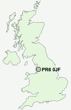
Postcode : PR6 0JF, Adlington, Lancashire
Cedar Road, Chorley.
PR6 0JF close to Hartwood and Cowling.
Classification
PR6 0JF : Urbanites / Urban professionals and families / White professionals
Local Authority Chorley
Primary Care Trust Central Lancashire
Ward Chorley North East
Constituency Chorley
Region North West
Country England
Postcode Area PR : Preston
PR6 Postcode Sectors
PR6 8 Abbey Village, Brindle, Brinscall, Higher Wheelton, Jack Green
PR6 9 Adlington, Anderton, Grimeford Village, Lane Ends, Limbrick
PR6 9 Adlington, Anderton, Grimeford Village, Lane Ends, Limbrick
PR6 0JF Nearby Postcode Districts
BB1 BB2 BB3 BB4 BB5 BL0 BL1 BL2 BL3 BL6 BL7 BL8 BL9 FY8 L40 OL10 PR1 PR25 PR26 PR4 PR5 PR6 PR7 PR8 PR9 WN6
Stations near to PR6 0JF
Chorley Rail Station about 0.69 miles away.Buckshaw Parkway Rail Station about 1.77 miles away.
Adlington (Lancs) Rail Station about 3.46 miles away.
PR6 0JF Schools
Chorley St Peter's Church of England Primary SchoolHighfield Primary School
St Michael's Church of England High School
Ar-Rahmah Academy
Sacred Heart Catholic Primary School, Chorley
Buckshaw Primary School
Parklands High School
Duke Street Primary School
Albany Science College
Gillibrand Primary School
Holy Cross Catholic High School, A Sports and Science College
Southlands High School
UK Search
Antique Furniture
1000s of pieces of Antique Furniture for sale from British antique dealers.