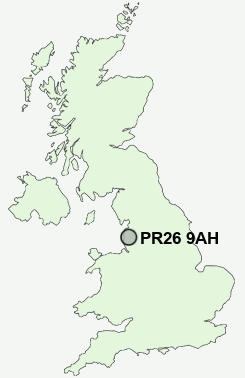
Postcode : PR26 9AH, Ulnes Walton, Lancashire
South Road, Bretherton, Leyland.
PR26 9AH close to Bretherton and Croston.
Classification
PR26 9AH : Suburbanites / Semi-detached suburbia / White suburban communities
Local Authority Chorley
Primary Care Trust Central Lancashire
Ward Lostock
Constituency South Ribble
Region North West
Country England
Postcode Area PR : Preston
PR26 Postcode Sectors
PR26 9AH Nearby Postcode Districts
BB1 BB2 BB3 BL1 BL2 BL6 BL7 FY8 L40 PR1 PR25 PR26 PR4 PR5 PR6 PR7 PR8 PR9
Stations near to PR26 9AH
Croston Rail Station about 0.94 miles away.Rufford Rail Station about 3.03 miles away.
PR26 9AH Schools
Bretherton Endowed Church of England Voluntary Aided Primary SchoolBishop Rawstorne Church of England Language College
Trinity and St Michael's VA CofE/Methodist Primary School
Hoole St Michael CofE Primary School
Tarleton Holy Trinity CofE Primary School
Tarleton High School, A Community Technology College
UK Search
Antique Furniture
1000s of pieces of Antique Furniture for sale from British antique dealers.