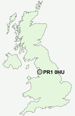
Postcode : PR1 0HU, Higher Penwortham, Lancashire
Crookings Lane, Penwortham, Preston.
PR1 0HU close to Higher Penwortham, Howick Cross and Middleforth Green.
Classification
PR1 0HU : Suburbanites / Semi-detached suburbia / Semi-detached ageing
Local Authority South Ribble
Primary Care Trust Central Lancashire
Ward Howick & Priory
Constituency South Ribble
Region North West
Country England
Postcode Area PR : Preston
PR1 Postcode Sectors
PR1 0HU Nearby Postcode Districts
BB1 BB2 BB3 BB5 BB6 FY1 FY2 FY3 FY4 FY8 PR1 PR2 PR25 PR26 PR4 PR5 PR6 PR9
Stations near to PR1 0HU
Preston Rail Station about 1.29 miles away.Lostock Hall Rail Station about 2.68 miles away.
PR1 0HU Schools
Priory Sports and Technology College, PenworthamPenwortham Girls' High School
Whitefield Primary School
Penwortham Broad Oak Primary School
Kingsfold Primary School
Ashton Community Science College
The Roebuck School
Ashton Primary School
Eldon Primary School
UK Search
Antique Furniture
1000s of pieces of Antique Furniture for sale from British antique dealers.