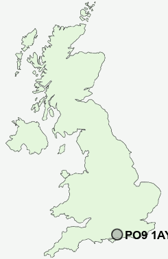
Postcode : PO9 1AY, Havant, Hampshire
Fairfield Road, Havant.
PO9 1AY close to Denvilles, Warblington, Brockhampton, Langstone, Stockheath and Bedhampton.
Classification
PO9 1AY : Urbanites / Ageing urban living / Self-sufficient retirement
Local Authority Havant
Primary Care Trust Hampshire
Ward St Faith's
Constituency Havant
Region South East
Country England
Postcode Area PO : Portsmouth
PO9 Postcode Sectors
PO9 3 Bedhampton
PO9 1 Brockhampton, Havant, Langstone
PO9 6 Deanlane End, Durrants, Forestside, Red Hill, Rowlands Castle
PO9 1 Brockhampton, Havant, Langstone
PO9 6 Deanlane End, Durrants, Forestside, Red Hill, Rowlands Castle
PO9 1AY Nearby Postcode Districts
BN18 PO1 PO10 PO11 PO12 PO13 PO14 PO15 PO16 PO17 PO18 PO19 PO2 PO20 PO21 PO22 PO3 PO4 PO5 PO6 PO7 PO8 PO9 SO18 SO19 SO30 SO31 SO32
Stations near to PO9 1AY
Havant Rail StationWarblington Rail Station about 0.49 miles away.
Bedhampton Rail Station about 0.76 miles away.
Emsworth Rail Station about 1.75 miles away.
Rowlands Castle Rail Station about 2.85 miles away.
PO9 1AY Schools
Fairfield Infant SchoolBosmere Junior School
Warblington School
Trosnant Junior School
Trosnant Infant School
Bidbury Infant School
Bidbury Junior School
Emsworth Primary School
Park Community School
Staunton Community Sports College
Warren Park Primary School
UK Search
Antique Furniture
1000s of pieces of Antique Furniture for sale from British antique dealers.