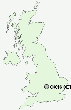
Postcode : OX16 0ET, Neithrop, Oxfordshire
Fiennes Road, Banbury.
OX16 0ET close to Neithrop, Hardwick, Ruscote and Banbury.
Classification
OX16 0ET : Hard-pressed living / Migration and churn / Hard-Pressed European Settlers
Local Authority Cherwell
Primary Care Trust Oxfordshire
Ward Banbury Ruscote
Constituency Banbury
Region South East
Country England
Postcode Area OX : Oxford
OX16 Postcode Sectors
OX16 0ET Nearby Postcode Districts
CV36 GL56 MK18 NN12 NN13 OX15 OX16 OX17
Stations near to OX16 0ET
Banbury Rail Station about 1.33 miles away.OX16 0ET Schools
Orchard Fields Community SchoolQueensway School
William Morris School
Hill View Primary School
Harriers Ground Community Primary School
North Oxfordshire Academy
Banbury School
Dashwood School
Hardwick Primary School
Hanwell Fields Community School
The Grange Community Primary School
UK Search
Antique Furniture
1000s of pieces of Antique Furniture for sale from British antique dealers.