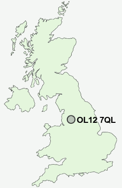
Postcode : OL12 7QL, Buckley, Rochdale, Greater Manchester
Edenfield Road, Rochdale.
OL12 7QL close to Whitworth, Shawfield, Cutgate, Shawclough and Catley Lane Head.
Classification
OL12 7QL : Constrained city dwellers / Ageing city dwellers / Ageing communities and families
Local Authority Rochdale
Primary Care Trust Heywood, Middleton and Rochdale
Ward Spotland and Falinge
Constituency Rochdale
Region North West
Country England
Postcode Area OL : Oldham
OL12 Postcode Sectors
OL12 0 Broadley
OL12 9 Buckley, Great Howarth, Greengate, Hurstead, Smallbridge
OL12 7 Catley Lane Head, Cutgate, Rain Shore, Red Lumb, Shawclough
OL12 9 Buckley, Great Howarth, Greengate, Hurstead, Smallbridge
OL12 7 Catley Lane Head, Cutgate, Rain Shore, Red Lumb, Shawclough
OL12 7QL Nearby Postcode Districts
BB3 BB4 BL0 BL1 BL2 BL3 BL4 BL5 BL6 BL7 BL8 BL9 HD3 HD4 HD7 HD9 HX1 HX4 HX5 HX6 M24 M25 M26 M38 M45 M46 OL1 OL10 OL11 OL12 OL13 OL14 OL15 OL16 OL2 OL3 OL4 OL8 OL9 WN2
Stations near to OL12 7QL
Rochdale Rail Station about 1.88 miles away.Castleton (Manchester) Rail Station about 2.23 miles away.
OL12 7QL Schools
Oulder Hill Community School and Language CollegeFalinge Park High School
Shawclough Community Primary School
Brimrod Community Primary School
Matthew Moss High School
Broadfield Community Primary School
Tonacliffe Primary School
UK Search
Antique Furniture
1000s of pieces of Antique Furniture for sale from British antique dealers.