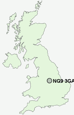
Postcode : NG9 3GA, Stapleford, Nottinghamshire
Bramcote, Nottingham, Nottinghamshire.
NG9 3GA close to Bramcote Hills and Bramcote.
Classification
NG9 3GA : Suburbanites / Suburban achievers / Indian tech achievers
Local Authority Broxtowe
Primary Care Trust Nottinghamshire County Teaching
Ward Bramcote
Constituency Broxtowe
Region East Midlands
Country England
Postcode Area NG : Nottingham
NG9 Postcode Sectors
NG9 3GA Nearby Postcode Districts
DE1 DE21 DE22 DE23 DE24 DE3 DE56 DE65 DE7 DE72 DE73 DE74 DE75 NG1 NG10 NG11 NG12 NG13 NG14 NG16 NG2 NG3 NG4 NG5 NG6 NG7 NG8 NG9
Stations near to NG9 3GA
Beeston Rail Station about 2.21 miles away.Attenborough Rail Station about 2.55 miles away.
NG9 3GA Schools
Bramcote Hills Primary SchoolFernwood Infant School
Sunnyside Primary and Nursery School
College House Primary School
Meadow Lane Infant School
John Clifford Primary School
UK Search
Antique Furniture
1000s of pieces of Antique Furniture for sale from British antique dealers.