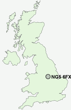
Postcode : NG5 6FX, Nottingham, Nottinghamshire
Oxclose Lane, Arnold, Nottingham.
NG5 6FX close to Daybrook, Bestwood, Woodthorpe and Sherwood.
Classification
NG5 6FX : Multicultural metropolitans / Rented family living / Social renting young families
Local Authority Nottingham
Primary Care Trust Nottingham City
Ward Sherwood
Constituency Nottingham East
Region East Midlands
Country England
Postcode Area NG : Nottingham
NG5 Postcode Sectors
NG5 6FX Nearby Postcode Districts
DE1 DE21 DE22 DE23 DE3 DE5 DE56 DE7 DE75 NG1 NG10 NG11 NG12 NG13 NG14 NG15 NG16 NG2 NG24 NG25 NG3 NG4 NG5 NG6 NG7 NG8 NG9
Stations near to NG5 6FX
Bulwell Rail Station about 1.97 miles away.Hucknall Rail Station about 3.42 miles away.
NG5 6FX Schools
Southglade Primary SchoolRobin Hood Primary School
Henry Whipple Primary School
Westglade Primary School
Robert Mellors Primary and Nursery School
Walter Halls Primary and Early Years School
Southwark Primary School
Killisick Junior School
Pinewood Infant and Nursery School
UK Search
Antique Furniture
1000s of pieces of Antique Furniture for sale from British antique dealers.