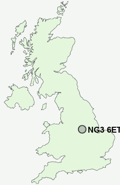
Postcode : NG3 6ET, Porchester, Nottingham, Nottinghamshire
Westdale Lane West, Mapperley, Nottingham.
NG3 6ET close to Porchester and Thorneywood.
Classification
NG3 6ET : Suburbanites / Suburban achievers / Ageing in suburbia
Local Authority Gedling
Primary Care Trust Nottinghamshire County Teaching
Ward Porchester
Constituency Gedling
Region East Midlands
Country England
Postcode Area NG : Nottingham
NG3 Postcode Sectors
NG3 6ET Nearby Postcode Districts
DE1 DE21 DE22 DE23 DE24 DE5 DE56 DE7 DE72 DE75 NG1 NG10 NG11 NG12 NG13 NG14 NG15 NG16 NG2 NG24 NG25 NG3 NG4 NG5 NG6 NG7 NG8 NG9
Stations near to NG3 6ET
Carlton Rail Station about 1.65 miles away.Netherfield Rail Station about 1.81 miles away.
Nottingham Rail Station about 2.91 miles away.
NG3 6ET Schools
Mapperley Plains Primary and Nursery SchoolHaddon Primary and Nursery School
Porchester Junior School
Central Infant and Nursery School
Carlton Central Junior School
Standhill Infants' School
Walter Halls Primary and Early Years School
Priory Junior School
Parkdale Primary School
Robert Mellors Primary and Nursery School
Killisick Junior School
Pinewood Infant and Nursery School
UK Search
Antique Furniture
1000s of pieces of Antique Furniture for sale from British antique dealers.