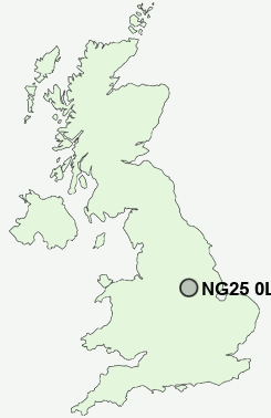
Postcode : NG25 0LD, Southwell, Nottinghamshire
Westgate, Southwell.
NG25 0LD close to Easthorpe, Normanton and Westhorpe.
Classification
NG25 0LD : Rural residents / Rural tenants / Ageing rural flat tenants
Local Authority Newark and Sherwood
Primary Care Trust Nottinghamshire County Teaching
Ward Southwell
Constituency Newark
Region East Midlands
Country England
Postcode Area NG : Nottingham
NG25 Postcode Sectors
NG25 0LD Nearby Postcode Districts
DE75 NG14 NG15 NG16 NG17 NG18 NG19 NG21 NG23 NG24 NG25 NG5 NG6
Stations near to NG25 0LD
Fiskerton Rail Station about 2.26 miles away.Bleasby Rail Station about 2.41 miles away.
Thurgarton Rail Station about 3.16 miles away.
NG25 0LD Schools
Holy Trinity CofE Infant SchoolMinster School
Lowe's Wong Infant School
Lowe's Wong Anglican Methodist Junior School
Halam CofE Primary School
UK Search
Antique Furniture
1000s of pieces of Antique Furniture for sale from British antique dealers.