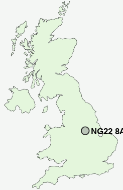
Postcode : NG22 8AE, Halam, Nottinghamshire
Halam, Newark, Nottinghamshire.
NG22 8AE close to Halam and Edingley.
Classification
NG22 8AE : Rural residents / Rural tenants / Rural white-collar workers
Local Authority Newark and Sherwood
Primary Care Trust Nottinghamshire County Teaching
Ward Southwell
Constituency Sherwood
Region East Midlands
Country England
Postcode Area NG : Nottingham
NG22 Postcode Sectors
NG22 0 Askham, Darlton, Dunham on Trent, Eakring, East Markham
NG22 8 Belle Eau Park, Bilsthorpe, Bilsthorpe Moor, Edingley, Farnsfield
NG22 8 Belle Eau Park, Bilsthorpe, Bilsthorpe Moor, Edingley, Farnsfield
NG22 8AE Nearby Postcode Districts
DE55 DE75 NG14 NG15 NG16 NG17 NG18 NG19 NG21 NG22 NG23 NG24 NG25 NG5 NG6
Stations near to NG22 8AE
Bleasby Rail Station about 3.63 miles away.NG22 8AE Schools
Halam CofE Primary SchoolHoly Trinity CofE Infant School
Lowe's Wong Infant School
Lowe's Wong Anglican Methodist Junior School
Minster School
Kirklington Primary School
UK Search
Antique Furniture
1000s of pieces of Antique Furniture for sale from British antique dealers.