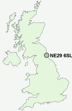
Postcode : NE29 6SL, Meadow Well, North Tyneside, Tyne And Wear
Waterville Road, North Shields.
NE29 6SL close to Chirton and Percy Main.
Classification
NE29 6SL : Constrained city dwellers / Challenged diversity / Hampered aspiration
Local Authority North Tyneside
Primary Care Trust North Tyneside
Ward Riverside
Constituency North Tyneside
Region North East
Country England
Postcode Area NE : Newcastle
NE29 Postcode Sectors
NE29 6SL Nearby Postcode Districts
NE1 NE10 NE11 NE12 NE13 NE15 NE16 NE17 NE2 NE20 NE21 NE23 NE25 NE26 NE27 NE28 NE29 NE3 NE30 NE31 NE32 NE33 NE34 NE35 NE36 NE37 NE39 NE4 NE40 NE41 NE5 NE6 NE7 NE8 NE9 NE99 SR1 SR5 SR6
Stations near to NE29 6SL
Brockley Whins Rail Station about 3.13 miles away.NE29 6SL Schools
Norham High SchoolJohn Spence Community High School
Westoe Crown Primary School
Marden High School
Mortimer Community College
UK Search
Antique Furniture
1000s of pieces of Antique Furniture for sale from British antique dealers.