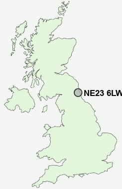
Postcode : NE23 6LW, Southfield, Northumberland
Westloch Road, Cramlington.
NE23 6LW close to Southfield, Collingwood, Annitsford, Cramlington and Mayfield.
Classification
NE23 6LW : Urbanites / Ageing urban living / Self-sufficient retirement
Local Authority Northumberland
Primary Care Trust Northumberland
Ward Cramlington South East
Constituency Blyth Valley
Region North East
Country England
Postcode Area NE : Newcastle
NE23 Postcode Sectors
NE23 7 Annitsford, Burradon, Camperdown, Dudley, Fordley
NE23 8 Beaconhill
NE23 6 Collingwood, Cramlington, East Cramlington, Mayfield, Southfield
NE23 8 Beaconhill
NE23 6 Collingwood, Cramlington, East Cramlington, Mayfield, Southfield
NE23 6LW Nearby Postcode Districts
NE1 NE12 NE13 NE15 NE18 NE2 NE20 NE22 NE23 NE24 NE25 NE26 NE27 NE28 NE29 NE3 NE30 NE31 NE33 NE34 NE4 NE41 NE5 NE6 NE62 NE7
Stations near to NE23 6LW
Cramlington Rail Station about 1.4 miles away.NE23 6LW Schools
Cramlington Learning VillageHareside Primary School
Fordley Primary School
Seghill First School
Cramlington Shanklea Primary School
Beaconhill Community Primary School
Burnside Primary School
Cramlington Eastlea Primary School
UK Search
Antique Furniture
1000s of pieces of Antique Furniture for sale from British antique dealers.