Postcode : MK43 9JT, Hall End, Bedford Borough, Bedfordshire
Bedford Road, Wootton, Bedford.
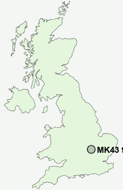
MK43 9JT close to Hall End, Wootton, Gibraltar and Wood End.
Classification
MK43 9JT : Suburbanites / Semi-detached suburbia / Older workers and retirement
Local Authority Bedford
Primary Care Trust Bedfordshire
Ward Wootton
Constituency Mid Bedfordshire
Region Eastern
Country England
Postcode Area MK : Milton Keynes
MK43 Postcode Sectors
MK43 0 Bougton End, Bourne End, Broad Green, Brogborough, Caulcott
MK43 8 Box End, Bridge End, Bromham, Bury End, Green End
MK43 8 Box End, Bridge End, Bromham, Bury End, Green End
MK43 7 Carlton, Chellington, Duck End, Emmaus Village Carlton, Felmersham
MK43 9 Gibraltar, Hall End, Keeley Green, Stewartby, Wood End
MK43 9 Gibraltar, Hall End, Keeley Green, Stewartby, Wood End
MK43 9JT Nearby Postcode Districts
MK1 MK10 MK11 MK12 MK13 MK14 MK15 MK16 MK19 MK3 MK4 MK40 MK41 MK42 MK43 MK44 MK45 MK46 MK5 MK6 MK7 MK8 MK9 SG15 SG16 SG17 SG18 SG19 SG7
Stations near to MK43 9JT
Kempston Hardwick Rail Station about 1.09 miles away.Stewartby Rail Station about 1.89 miles away.
Millbrook (Beds) Rail Station about 2.91 miles away.
Bedford Rail Station about 3.48 miles away.
MK43 9JT Schools
Wootton Lower SchoolWootton Upper School
Hastingsbury Upper School and Enterprise College
Kempston Rural Lower School
Shelton Lower School
Balliol Primary School
Broadmead Lower School
UK Search
Antique Furniture
1000s of pieces of Antique Furniture for sale from British antique dealers.