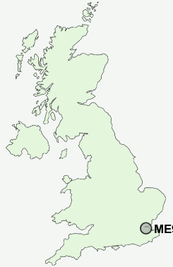
Postcode : ME9 7AE, Upchurch, Kent
Forge Lane, Upchurch, Sittingbourne.
ME9 7AE close to Upchurch, Ham Green and Wetham Green.
Classification
ME9 7AE : Urbanites / Urban professionals and families / White professionals
Local Authority Swale
Primary Care Trust Eastern and Coastal Kent
Ward Hartlip, Newington and Upchurch
Constituency Sittingbourne and Sheppey
Region South East
Country England
Postcode Area ME : Medway
ME9 Postcode Sectors
ME9 9 Bapchild, Barrow Green, Blacketts, Cellarhill, Conyer
ME9 8 Bexon, Bicknor, Bobbing, Borden, Bredgar
ME9 8 Bexon, Bicknor, Bobbing, Borden, Bredgar
ME9 0 Bluetown, Bottom Pond, Doddington, Dungate, Erriottwood
ME9 7 Breach, Chesley, Ham Green, Hartlip, Hill Green
ME9 7 Breach, Chesley, Ham Green, Hartlip, Hill Green
ME9 7AE Nearby Postcode Districts
CT5 DA10 DA11 DA12 DA13 DA3 DA9 ME1 ME10 ME11 ME12 ME13 ME14 ME19 ME2 ME20 ME3 ME4 ME5 ME6 ME7 ME8 ME9 RM18 TN15
Stations near to ME9 7AE
Newington Rail Station about 1.79 miles away.Rainham (Kent) Rail Station about 1.8 miles away.
ME9 7AE Schools
Holywell Primary SchoolLower Halstow Primary School
Riverside Primary School
Newington Church of England Primary School
Meredale Independent Primary School
UK Search
Antique Furniture
1000s of pieces of Antique Furniture for sale from British antique dealers.