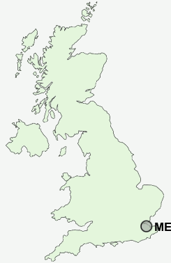
Postcode : ME9 0PS, Highsted, Kent
Saint Patricks Row, Rodmersham Green, Rodmersham.
ME9 0PS close to Highsted, Rodmersham Green, Rodmersham, Upper Rodmersham, Woodstock and Bapchild.
Classification
ME9 0PS : Rural residents / Rural tenants / Rural white-collar workers
Local Authority Swale
Primary Care Trust Eastern and Coastal Kent
Ward West Downs
Constituency Sittingbourne and Sheppey
Region South East
Country England
Postcode Area ME : Medway
ME9 Postcode Sectors
ME9 9 Bapchild, Barrow Green, Blacketts, Cellarhill, Conyer
ME9 8 Bexon, Bicknor, Bobbing, Borden, Bredgar
ME9 8 Bexon, Bicknor, Bobbing, Borden, Bredgar
ME9 0 Bluetown, Bottom Pond, Doddington, Dungate, Erriottwood
ME9 7 Breach, Chesley, Ham Green, Hartlip, Hill Green
ME9 7 Breach, Chesley, Ham Green, Hartlip, Hill Green
ME9 0PS Nearby Postcode Districts
CT1 CT2 CT4 CT5 CT6 DA13 ME1 ME10 ME11 ME13 ME14 ME15 ME16 ME17 ME18 ME19 ME2 ME20 ME4 ME5 ME6 ME7 ME8 ME9
Stations near to ME9 0PS
Sittingbourne Rail Station about 1.72 miles away.Kemsley Rail Station about 3.08 miles away.
ME9 0PS Schools
Sittingbourne Community CollegeSouth Avenue Junior School
South Avenue Infant School
Canterbury Road Primary School
The Oaks Community Infant School
Lansdowne Primary School
Minterne Community Junior School
Murston Infant School
Woodgrove Primary School
UK Search
Antique Furniture
1000s of pieces of Antique Furniture for sale from British antique dealers.