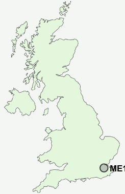
Postcode : ME16 8TL, Fant, Kent
Greenway, Maidstone.
ME16 8TL close to Fant, Barming Heath and Barming.
Classification
ME16 8TL : Hard-pressed living / Migration and churn / Hard-pressed ethnic mix
Local Authority Maidstone
Primary Care Trust West Kent
Ward Heath
Constituency Maidstone and The Weald
Region South East
Country England
Postcode Area ME : Medway
ME16 Postcode Sectors
ME16 8TL Nearby Postcode Districts
BR6 ME10 ME14 ME15 ME16 ME17 ME18 ME19 ME20 ME5 ME6 ME8 ME9 TN10 TN11 TN12 TN13 TN14 TN15 TN9
Stations near to ME16 8TL
East Farleigh Rail Station about 1.06 miles away.Maidstone West Rail Station about 1.09 miles away.
Maidstone Barracks Rail Station about 1.12 miles away.
Barming Rail Station about 1.14 miles away.
Maidstone East Rail Station about 1.43 miles away.
Aylesford Rail Station about 2.4 miles away.
New Hythe Rail Station about 3.34 miles away.
ME16 8TL Schools
West Borough Primary SchoolThe Astor of Hever Community School
Oakwood Park Grammar School
Barming Primary School
Palace Wood Primary School
South Borough Primary School
North Borough Junior School
St Paul's Infant School
UK Search
Antique Furniture
1000s of pieces of Antique Furniture for sale from British antique dealers.