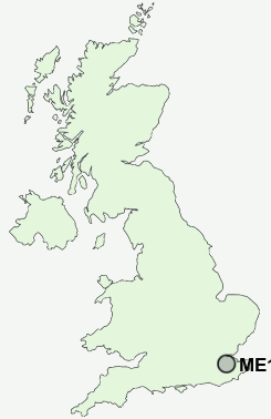
Postcode : ME15 9UW, Loose, Kent
Loose Road, Maidstone.
ME15 9UW close to Loose, Loose Hill and Dean Street.
Classification
ME15 9UW : Suburbanites / Semi-detached suburbia / Older workers and retirement
Local Authority Maidstone
Primary Care Trust West Kent
Ward Loose
Constituency Maidstone and The Weald
Region South East
Country England
Postcode Area ME : Medway
ME15 Postcode Sectors
ME15 0 Dean Street, East Farleigh, Farleigh Green, Hunton, Kettle Corner
ME15 8 Green Hill, Otham, Otham Hole, Willington
ME15 9 Loose, Park Wood
ME15 8 Green Hill, Otham, Otham Hole, Willington
ME15 9 Loose, Park Wood
ME15 9UW Nearby Postcode Districts
ME10 ME13 ME14 ME15 ME16 ME17 ME18 ME19 ME20 ME6 ME9 TN10 TN11 TN12 TN13 TN14 TN15 TN24 TN27 TN4 TN9
Stations near to ME15 9UW
East Farleigh Rail Station about 1.76 miles away.Maidstone West Rail Station about 1.86 miles away.
Maidstone Barracks Rail Station about 2.33 miles away.
Maidstone East Rail Station about 2.36 miles away.
Barming Rail Station about 3.37 miles away.
ME15 9UW Schools
New Line Learning AcademyNew Line Learning Academy
Cornwallis Academy
Cornwallis Academy
Coxheath Primary School
Greenfields Community Primary School
Bell Wood Community Primary School
Senacre Wood Primary School
UK Search
Antique Furniture
1000s of pieces of Antique Furniture for sale from British antique dealers.