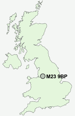
Postcode : M23 9BP, Greater Manchester
Manchester, Greater Manchester, England.
M23 9BP close to Roundthorn, Baguley and Northern Moor.
Classification
M23 9BP : Multicultural metropolitans / Rented family living / Social renting young families
Local Authority Manchester
Primary Care Trust Manchester Teaching
Ward Baguley
Constituency Wythenshawe and Sale East
Region North West
Country England
Postcode Area M : Manchester
M23 Postcode Sectors
M23 9BP Nearby Postcode Districts
M1 M11 M12 M13 M14 M15 M16 M17 M18 M19 M2 M20 M21 M22 M23 M3 M30 M31 M32 M33 M34 M4 M41 M43 M44 M5 M6 M60 M90 OL6 OL7 SK1 SK12 SK13 SK14 SK15 SK16 SK2 SK22 SK23 SK3 SK4 SK5 SK6 SK7 SK8 SK9 WA1 WA12 WA13 WA14 WA15 WA16 WA2 WA3 WA4 WA5 WN4 WN7
Stations near to M23 9BP
Navigation Road Rail Station about 1.99 miles away.Manchester Airport Rail Station about 2.7 miles away.
Ashley Rail Station about 3.67 miles away.
M23 9BP Schools
Broomwood Primary SchoolHeyes Lane Primary School
Heyes Lane Infant School
Worthington Primary School
Cloverlea Primary School
Willows Primary School
Brooklands Primary School
Altrincham College of Arts
Springfield Primary School
Well Green Primary School
UK Search
Antique Furniture
1000s of pieces of Antique Furniture for sale from British antique dealers.