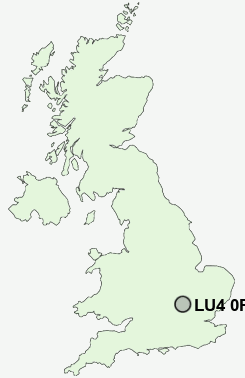
Postcode : LU4 0PE, Leagrave, Luton, Bedfordshire
Pastures Way, Luton.
Classification
LU4 0PE : Multicultural metropolitans / Rented family living / Social renting young families
Local Authority Luton
Primary Care Trust Luton
Ward Lewsey
Constituency Luton North
Region Eastern
Country England
Postcode Area LU : Luton
LU4 Postcode Sectors
LU4 0PE Nearby Postcode Districts
AL5 AL6 AL8 HP19 HP20 HP21 HP22 LU1 LU2 LU3 LU4 LU5 LU6 LU7 MK17 MK2 MK3 SG1 SG14 SG2 SG3 SG4 SG5 SG6
Stations near to LU4 0PE
Leagrave Rail Station about 1.24 miles away.LU4 0PE Schools
Southfield Infant SchoolThe Chalk Hills Academy
Mill Vale School
Challney High School for Boys and Community College
Challney High School for Girls
Kings Houghton Middle School
Lealands High School
Priory Middle School
Tithe Farm Primary School
Streetfield Middle School
Whitefield Infant School
UK Search
Antique Jewellery
including Antique Engagement Rings for sale from UK Antique specialists.