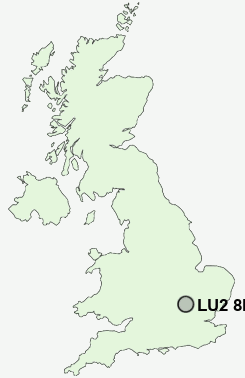
Postcode : LU2 8PY, Cockernhoe, Luton, Hertfordshire
Cockernhoe, Luton, Hertfordshire.
LU2 8PY close to Cockernhoe, Mangrove Green, Tea Green and Wandon End.
Classification
LU2 8PY : Hard-pressed living / Hard pressed ageing workers / Ageing industrious workers
Local Authority North Hertfordshire
Primary Care Trust Hertfordshire
Ward Hitchwood, Offa and Hoo
Constituency Hitchin and Harpenden
Region Eastern
Country England
Postcode Area LU : Luton
LU2 Postcode Sectors
LU2 8PY Nearby Postcode Districts
AL5 AL6 AL8 HP22 LU1 LU2 LU3 LU4 LU5 LU6 LU7 MK17 MK2 MK3 SG1 SG11 SG12 SG14 SG2 SG3 SG4 SG5 SG6 SG9
Stations near to LU2 8PY
Luton Airport Parkway Rail Station about 2.24 miles away.Luton Rail Station about 2.35 miles away.
LU2 8PY Schools
Wigmore Primary SchoolSomeries Infant School
Someries Junior School
Putteridge High School
Putteridge Junior School
Putteridge Primary School
Ashcroft High School
Ramridge Primary School
Stopsley Community Primary School
Stopsley High School
Crawley Green Infant School
Breachwood Green Junior Mixed and Infant School
UK Search
Antique Jewellery
including Antique Engagement Rings for sale from UK Antique specialists.