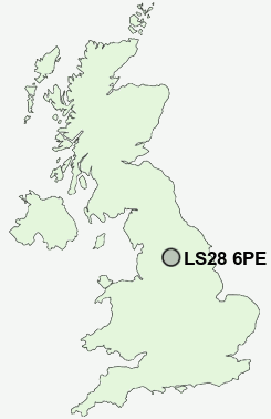
Postcode : LS28 6PE, Pudsey, Leeds, West Yorkshire
Leeds and Bradford Road, Stanningley, Pudsey.
LS28 6PE close to Stanningley, Bagley, Intake, Hough Side, Swinnow Moor and Farsley.
Classification
LS28 6PE : Hard-pressed living / Hard pressed ageing workers / Ageing industrious workers
Local Authority Leeds
Primary Care Trust Leeds
Ward Bramley and Stanningley
Constituency Leeds West
Region Yorkshire and The Humber
Country England
Postcode Area LS : Leeds
LS28 Postcode Sectors
LS28 5 Bagley, Calverley, Farsley, Farsley Beck Bottom, Intake
LS28 8 Fulneck, Hillfoot
LS28 9 Hough Side, Swinnow Moor, Troydale
LS28 8 Fulneck, Hillfoot
LS28 9 Hough Side, Swinnow Moor, Troydale
LS28 6PE Nearby Postcode Districts
BD1 BD10 BD11 BD12 BD13 BD14 BD15 BD16 BD17 BD18 BD19 BD2 BD20 BD21 BD22 BD3 BD4 BD5 BD6 BD7 BD8 BD9 HX1 HX2 HX3 HX7 LS1 LS10 LS11 LS12 LS13 LS14 LS15 LS16 LS17 LS18 LS19 LS2 LS20 LS23 LS24 LS25 LS26 LS27 LS28 LS3 LS4 LS5 LS6 LS7 LS8 LS9 WF10 WF11 WF17 WF3
Stations near to LS28 6PE
Bramley (West Yorks) Rail Station about 0.64 miles away.New Pudsey Rail Station about 1.29 miles away.
Horsforth Rail Station about 2.73 miles away.
LS28 6PE Schools
Intake High School Arts CollegeValley View Community Primary School
Pudsey Grangefield School
Whitecote Primary School
Hollybush Primary
Crawshaw School
Pudsey Waterloo Primary
Greenhill Primary School
Priesthorpe School
UK Search
Antique Jewellery
including Antique Engagement Rings for sale from UK Antique specialists.