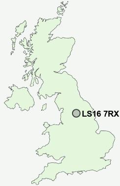
Postcode : LS16 7RX, Cookridge, Leeds, West Yorkshire
Leeds, West Yorkshire.
LS16 7RX close to Cookridge, Tinshill, Holt Park, Ireland Wood, Lawnswood and Adel.
Classification
LS16 7RX : Multicultural metropolitans / Rented family living / Commuters with young families
Local Authority Leeds
Primary Care Trust Leeds
Ward Adel and Wharfedale
Constituency Leeds North West
Region Yorkshire and The Humber
Country England
Postcode Area LS : Leeds
LS16 Postcode Sectors
LS16 7RX Nearby Postcode Districts
BD1 BD10 BD13 BD14 BD15 BD16 BD17 BD18 BD2 BD20 BD21 BD22 BD3 BD4 BD5 BD6 BD7 BD8 BD9 LS1 LS10 LS11 LS12 LS13 LS14 LS15 LS16 LS17 LS18 LS19 LS2 LS20 LS21 LS22 LS23 LS24 LS25 LS28 LS29 LS3 LS4 LS5 LS6 LS7 LS8 LS9
Stations near to LS16 7RX
Horsforth Rail Station about 1.07 miles away.Headingley Rail Station about 2.67 miles away.
Burley Park Rail Station about 3.26 miles away.
LS16 7RX Schools
Ralph Thoresby SchoolIveson Primary School
Adel Primary School
Lawnswood School
Westbrook Lane Primary School
Broadgate Primary School
Horsforth School
Bramhope Primary School
UK Search
Antique Jewellery
including Antique Engagement Rings for sale from UK Antique specialists.