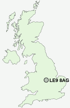
Postcode : LE9 8AG, Barwell, Leicestershire
Moore Road, Barwell, Leicester.
LE9 8AG close to Barwell, Earl Shilton and Elmesthorpe.
Classification
LE9 8AG : Urbanites / Ageing urban living / Self-sufficient retirement
Local Authority Hinckley and Bosworth
Primary Care Trust Leicestershire County and Rutland
Ward Barwell
Constituency Bosworth
Region East Midlands
Country England
Postcode Area LE : Leicester
LE9 Postcode Sectors
LE9 8 Barwell, Stapleton
LE9 9 Botcheston, Brascote, Desford, Hunt's Lane, Merry Lees
LE9 6 Broughton Astley, Primethorpe, Sutton in the Elms
LE9 1 Cosby
LE9 9 Botcheston, Brascote, Desford, Hunt's Lane, Merry Lees
LE9 6 Broughton Astley, Primethorpe, Sutton in the Elms
LE9 1 Cosby
LE9 3 Croft, Huncote, Potters Marston
LE9 7 Earl Shilton, Elmesthorpe, Kirkby Mallory, Normanton Turville, Peckleton
LE9 2 Kirby Fields, Kirby Muxloe, Newtown Unthank
LE9 4 Sapcote, Stoney Stanton
LE9 7 Earl Shilton, Elmesthorpe, Kirkby Mallory, Normanton Turville, Peckleton
LE9 2 Kirby Fields, Kirby Muxloe, Newtown Unthank
LE9 4 Sapcote, Stoney Stanton
LE9 8AG Nearby Postcode Districts
B46 B77 B78 B79 CV10 CV11 CV12 CV13 CV9 LE1 LE10 LE18 LE2 LE3 LE4 LE5 LE6 LE8 LE9
Stations near to LE9 8AG
Hinckley Rail Station about 3.05 miles away.LE9 8AG Schools
Newlands Community Primary SchoolHeathfield High School
William Bradford Community College
Barwell Infant School
Barwell Church of England Junior School
Townlands Church of England Primary School
Saint Peters Catholic Primary School, Earl Shilton, Leicestershire
UK Search
Antique Jewellery
including Antique Engagement Rings for sale from UK Antique specialists.