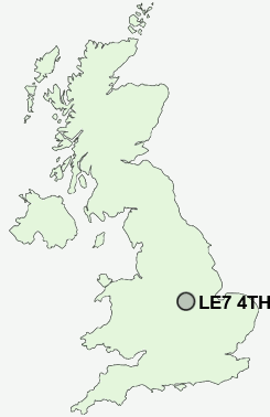
Postcode : LE7 4TH, Thrussington, Leicestershire
Hoby Road, Thrussington, Leicester.
LE7 4TH close to Thrussington and Rearsby.
Classification
LE7 4TH : Rural residents / Farming communities / Established farming communities
Local Authority Charnwood
Primary Care Trust Leicestershire County and Rutland
Ward Wreake Villages
Constituency Charnwood
Region East Midlands
Country England
Postcode Area LE : Leicester
LE7 Postcode Sectors
LE7 7 Anstey, Cropston, Rothley, Rothley Plain, Thurcaston
LE7 3 Barkby, Barkby Thorpe, Beeby, Queniborough, South Croxton
LE7 4 Barsby, Cossington, East Goscote, Gaddesby, Ratcliffe on the Wreake
LE7 3 Barkby, Barkby Thorpe, Beeby, Queniborough, South Croxton
LE7 4 Barsby, Cossington, East Goscote, Gaddesby, Ratcliffe on the Wreake
LE7 4TH Nearby Postcode Districts
LE11 LE12 LE13 LE14 LE15 LE4 LE6 LE67 LE7
Stations near to LE7 4TH
Syston Rail Station about 3.51 miles away.LE7 4TH Schools
Thrussington Church of England Primary SchoolSt Michael and All Angels Church of England (Aided) Primary School
Ratcliffe College
Broomfield Community Primary School
UK Search
Antique Jewellery
including Antique Engagement Rings for sale from UK Antique specialists.