Postcode : LE7 3DR, Queniborough, Leicestershire
Coppice Lane, Queniborough, Leicester.
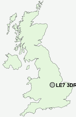
LE7 3DR close to Queniborough and East Goscote.
Classification
LE7 3DR : Suburbanites / Semi-detached suburbia / Semi-detached ageing
Local Authority Charnwood
Primary Care Trust Leicestershire County and Rutland
Ward Queniborough
Constituency Charnwood
Region East Midlands
Country England
Postcode Area LE : Leicester
LE7 Postcode Sectors
LE7 7 Anstey, Cropston, Rothley, Rothley Plain, Thurcaston
LE7 3 Barkby, Barkby Thorpe, Beeby, Queniborough, South Croxton
LE7 4 Barsby, Cossington, East Goscote, Gaddesby, Ratcliffe on the Wreake
LE7 3 Barkby, Barkby Thorpe, Beeby, Queniborough, South Croxton
LE7 4 Barsby, Cossington, East Goscote, Gaddesby, Ratcliffe on the Wreake
LE7 3DR Nearby Postcode Districts
CV13 LE1 LE11 LE12 LE13 LE14 LE15 LE2 LE3 LE4 LE5 LE6 LE67 LE7
Stations near to LE7 3DR
Syston Rail Station about 1.81 miles away.LE7 3DR Schools
Queniborough Church of England Primary SchoolBroomfield Community Primary School
Wreake Valley Community College
St Peter and St Paul Church of England Primary School
St Michael and All Angels Church of England (Aided) Primary School
The Merton Primary School
The Pochin School
UK Search
Antique Jewellery
including Antique Engagement Rings for sale from UK Antique specialists.