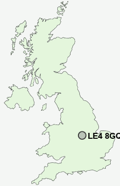
Postcode : LE4 8GQ, Thurmaston, Leicester, Leicestershire
Melton Road, Thurmaston, Leicester.
Classification
LE4 8GQ : Multicultural metropolitans / Rented family living / Private renting new arrivals
Local Authority Charnwood
Primary Care Trust Leicestershire County and Rutland
Ward Thurmaston
Constituency Charnwood
Region East Midlands
Country England
Postcode Area LE : Leicester
LE4 Postcode Sectors
LE4 8GQ Nearby Postcode Districts
CV13 LE1 LE11 LE12 LE13 LE14 LE15 LE2 LE3 LE4 LE5 LE6 LE65 LE67 LE7
Stations near to LE4 8GQ
Syston Rail Station about 0.7 miles away.Sileby Rail Station about 3.2 miles away.
LE4 8GQ Schools
Roundhill Community CollegeLongslade Community College
The Stonehill High School
Riverside Community Primary School
Sandfield Close Primary School
Wreake Valley Community College
Herrick Primary School
Highcliffe Primary School and Community Centre
Rushey Mead School
Soar Valley College
UK Search
Antique Jewellery
including Antique Engagement Rings for sale from UK Antique specialists.