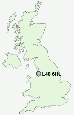
Postcode : L40 6HL, Westhead, Lancashire
School Lane, Westhead, Ormskirk.
Classification
L40 6HL : Rural residents / Rural tenants / Rural life
Local Authority West Lancashire
Primary Care Trust Central Lancashire
Ward Derby
Constituency West Lancashire
Region North West
Country England
Postcode Area L : Liverpool
L40 Postcode Sectors
L40 9 Bescar, Drummersdale, Scarisbrick, Smithy Lane Ends
L40 3 Bispham Green, Black Moor, Grimshaw Green, Mawdesley
L40 7 Burscough
L40 5 Burscough Bridge, Lathom, Ring o' Bells
L40 8 Heaton's Bridge, Hurlston, Hurlston Green, Pinfold
L40 3 Bispham Green, Black Moor, Grimshaw Green, Mawdesley
L40 7 Burscough
L40 5 Burscough Bridge, Lathom, Ring o' Bells
L40 8 Heaton's Bridge, Hurlston, Hurlston Green, Pinfold
L40 6HL Nearby Postcode Districts
BL5 BL6 L10 L21 L22 L23 L29 L30 L31 L32 L33 L37 L38 L39 L40 M29 M46 PR7 PR8 PR9 WA11 WN1 WN2 WN3 WN4 WN5 WN6 WN7 WN8
Stations near to L40 6HL
Ormskirk Rail Station about 1.6 miles away.Burscough Junction Rail Station about 2.46 miles away.
Hoscar Rail Station about 2.96 miles away.
Burscough Bridge Rail Station about 2.99 miles away.
New Lane Rail Station about 3.56 miles away.
L40 6HL Schools
Westhead Lathom St James' Church of England Primary SchoolOrmskirk Church of England Primary School
Ormskirk Lathom Park Church of England Primary School
St Richard's Catholic Primary School, Skelmersdale
UK Search
Antique Jewellery
including Antique Engagement Rings for sale from UK Antique specialists.