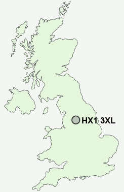
Postcode : HX1 3XL, Calderdale, West Yorkshire
Parkinson Lane, Halifax.
HX1 3XL close to Pellon, Stoney Royd, Claremount and Halifax.
Classification
HX1 3XL : Multicultural metropolitans / Challenged Asian terraces / Pakistani communities
Local Authority Calderdale
Primary Care Trust Calderdale
Ward Park
Constituency Halifax
Region Yorkshire and The Humber
Country England
Postcode Area HX : Halifax
HX1 Postcode Sectors
HX1 3XL Nearby Postcode Districts
BB10 BB11 BD1 BD11 BD12 BD13 BD14 BD15 BD19 BD2 BD3 BD4 BD5 BD6 BD7 BD8 BD9 HD1 HD2 HD3 HD4 HD5 HD6 HD7 HX1 HX2 HX3 HX4 HX5 HX6 HX7 LS1 LS10 LS11 LS12 LS13 LS2 LS27 LS28 LS3 LS4 LS7 LS9 OL12 OL13 OL14 OL15 WF1 WF12 WF13 WF14 WF15 WF16 WF17 WF2 WF3 WF4 WF5
Stations near to HX1 3XL
Halifax Rail Station about 1.06 miles away.Sowerby Bridge Rail Station about 1.35 miles away.
HX1 3XL Schools
Warley Road Primary SchoolMount Pellon Junior and Infant School
Halifax High at Wellesley Park
Ling Bob Junior, Infant and Nursery School
Sowerby Bridge High School
Tuel Lane Infant School
Warley Town School
Park Lane Learning Trust
UK Search
Antique Jewellery
including Antique Engagement Rings for sale from UK Antique specialists.