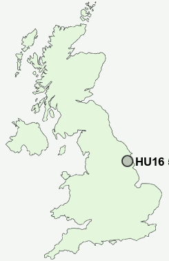
Postcode : HU16 5PE, Cottingham, East Riding Of Yorkshire
Westfield Road, Cottingham.
HU16 5PE close to The Lawns and New Village.
Classification
HU16 5PE : Suburbanites / Semi-detached suburbia / Semi-detached ageing
Local Authority East Riding of Yorkshire
Primary Care Trust East Riding of Yorkshire
Ward Cottingham North
Constituency Haltemprice and Howden
Region Yorkshire and The Humber
Country England
Postcode Area HU : Hull
HU16 Postcode Sectors
HU16 5PE Nearby Postcode Districts
DN19 HU1 HU10 HU11 HU12 HU13 HU14 HU15 HU16 HU17 HU2 HU20 HU3 HU4 HU5 HU6 HU7 HU8 HU9 YO43
Stations near to HU16 5PE
Cottingham Rail Station about 0.72 miles away.HU16 5PE Schools
Westfield Primary SchoolBacon Garth Primary School
Cottingham High School
Cottingham Croxby Primary School
Wolfreton School and Sixth Form College
Wold Primary School
Willerby Carr Lane Primary School
Kelvin Hall School
UK Search
Antique Jewellery
including Antique Engagement Rings for sale from UK Antique specialists.