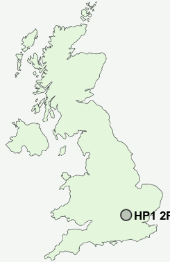
Postcode : HP1 2RF, Westbrook Hay, Hertfordshire
Hemel Hempstead, Hertfordshire, England.
HP1 2RF close to Westbrook Hay, Bourne End, Pouchen End and Chaulden.
Classification
HP1 2RF : Rural residents / Farming communities / Established farming communities
Local Authority Dacorum
Primary Care Trust Hertfordshire
Ward Bovingdon, Flaunden and Chipperfield
Constituency South West Hertfordshire
Region Eastern
Country England
Postcode Area HP : Hemel Hempstead
HP1 Postcode Sectors
HP1 2RF Nearby Postcode Districts
AL1 AL10 AL2 AL3 AL4 AL5 AL6 AL7 AL8 AL9 EN4 EN5 EN6 HP1 HP14 HP15 HP16 HP17 HP19 HP2 HP20 HP21 HP22 HP23 HP27 HP3 HP4 HP5 HP6 HP7 HP8 OX39 WD1 WD17 WD18 WD2 WD23 WD24 WD25 WD3 WD4 WD5 WD6 WD7
Stations near to HP1 2RF
Hemel Hempstead Rail Station about 1.1 miles away.Berkhamsted Rail Station about 2.59 miles away.
HP1 2RF Schools
Pixies Hill Primary SchoolChaulden Junior School
Chaulden Infants' and Nursery
Bovingdon Primary School
Boxmoor Primary School
Micklem Primary School
The Hemel Hempstead School
South Hill Primary School
The Cavendish School
UK Search
Antique Jewellery
including Antique Engagement Rings for sale from UK Antique specialists.