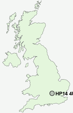
Postcode : HP14 4UL, Upper North Dean, Buckinghamshire
Walter's Ash, High Wycombe, Buckinghamshire.
HP14 4UL close to Upper North Dean, Walter's Ash, Naphill and Bradenham.
Classification
HP14 4UL : Urbanites / Urban professionals and families / Families in terraces and flats
Local Authority Wycombe
Primary Care Trust Buckinghamshire
Ward Greater Hughenden
Constituency Aylesbury
Region South East
Country England
Postcode Area HP : Hemel Hempstead
HP14 Postcode Sectors
HP14 4UL Nearby Postcode Districts
HA6 HP1 HP10 HP11 HP12 HP13 HP14 HP15 HP16 HP17 HP2 HP27 HP3 HP4 HP5 HP6 HP7 HP8 HP9 OX10 OX33 OX39 OX44 OX49 OX9 SL8 SL9 UB9 WD1 WD17 WD18 WD19 WD24 WD3 WD4 WD5
Stations near to HP14 4UL
Saunderton Rail Station about 1.51 miles away.High Wycombe Rail Station about 3.8 miles away.
HP14 4UL Schools
Naphill and Walters Ash SchoolSpeen CofE VA School
St John's Church of England (VA) Combined School, Lacey Green
Hughenden Primary School
UK Search
Antique Jewellery
including Antique Engagement Rings for sale from UK Antique specialists.