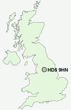
Postcode : HD5 9HN, Kirklees, West Yorkshire
Mayfield Avenue, Huddersfield.
HD5 9HN close to Dalton, Greenside, Tandem, Rawthorpe, Almondbury and Moldgreen.
Classification
HD5 9HN : Hard-pressed living / Industrious communities / Industrious transitions
Local Authority Kirklees
Primary Care Trust Kirklees
Ward Dalton
Constituency Huddersfield
Region Yorkshire and The Humber
Country England
Postcode Area HD : Huddersfield
HD5 Postcode Sectors
HD5 8 Almondbury, Dalton, Lower Houses
HD5 0 Cockley Hill, Colne Bridge, Cowmes, Greenside, Hill Side
HD5 0 Cockley Hill, Colne Bridge, Cowmes, Greenside, Hill Side
HD5 9HN Nearby Postcode Districts
BD12 BD19 HD1 HD2 HD3 HD4 HD5 HD6 HD7 HD8 HD9 HX1 HX2 HX3 HX4 HX5 HX6 HX7 OL1 OL14 OL15 OL16 OL2 OL3 S71 S72 S75 WF1 WF12 WF13 WF14 WF15 WF16 WF17 WF2 WF3 WF4 WF5 WF6 WF7
Stations near to HD5 9HN
Huddersfield Rail Station about 1.47 miles away.Deighton Rail Station about 1.55 miles away.
Berry Brow Rail Station about 2.52 miles away.
Honley Rail Station about 2.93 miles away.
Brockholes Rail Station about 3.5 miles away.
HD5 9HN Schools
Almondbury Community SchoolMoldgreen Community Primary School
Rawthorpe Junior School
Netherhall Learning Campus High School
King James's School
Kirkheaton Primary School
Fartown High School
Birkby Junior School
Ashbrow Junior School
UK Search
Antique Jewellery
including Antique Engagement Rings for sale from UK Antique specialists.