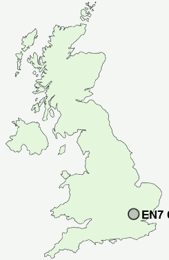
Postcode : EN7 6LR, Flamstead End, Hertfordshire
Cheshunt, Waltham Cross, Hertfordshire.
EN7 6LR close to Flamstead End, Rosedale, Churchgate and Hammond Street.
Classification
EN7 6LR : Rural residents / Rural tenants / Rural white-collar workers
Local Authority Broxbourne
Primary Care Trust Hertfordshire
Ward Goffs Oak
Constituency Broxbourne
Region Eastern
Country England
Postcode Area EN : Enfield
EN7 Postcode Sectors
EN7 6LR Nearby Postcode Districts
AL1 AL10 AL2 AL3 AL4 AL7 AL8 AL9 CM14 CM15 CM16 CM17 CM18 CM19 CM20 CM21 CM5 E4 EN1 EN10 EN11 EN2 EN3 EN4 EN5 EN6 EN7 EN8 EN9 IG10 IG9 N13 N14 N20 N21 N9 RM4 SG12 SG13 SG14 WD1 WD17 WD18 WD19 WD2 WD23 WD24 WD25 WD5 WD6 WD7
Stations near to EN7 6LR
Cheshunt Rail Station about 1.47 miles away.Theobalds Grove Rail Station about 1.75 miles away.
Waltham Cross Rail Station about 2.36 miles away.
Broxbourne Rail Station about 2.77 miles away.
Turkey Street Rail Station about 2.97 miles away.
Enfield Lock Rail Station about 3.24 miles away.
Bayford Rail Station about 3.47 miles away.
EN7 6LR Schools
Fairfields Primary School and NurseryAndrews Lane Primary School
Burleigh Primary School
Bonneygrove Primary School
Millbrook School
Mayfield Infants' School and Nursery
Turnford School
Longlands Primary School and Nursery
Woodside Primary School
UK Search
Antique Jewellery
including Antique Engagement Rings for sale from UK Antique specialists.