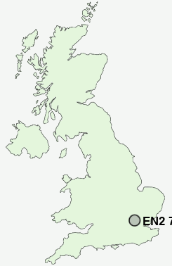
Postcode : EN2 7RE, World's End, Greater London, Enfield, Greater London
Bincote Road, Enfield.
EN2 7RE close to World's End and Enfield Town.
Classification
EN2 7RE : Multicultural metropolitans / Asian traits / Inner city ethnic mix
Local Authority Enfield
Primary Care Trust Enfield
Ward Highlands
Constituency Enfield North
Region London
Country England
Postcode Area EN : Enfield
EN2 Postcode Sectors
EN2 7RE Nearby Postcode Districts
AL1 AL2 AL9 CM16 CM5 E10 E11 E17 E18 E4 E5 EN1 EN10 EN2 EN3 EN4 EN5 EN6 EN7 EN8 EN9 HA1 HA2 HA3 HA4 HA5 HA6 HA7 HA8 HA9 HP3 IG1 IG10 IG2 IG3 IG4 IG5 IG6 IG7 IG8 IG9 N10 N11 N12 N13 N14 N15 N16 N17 N18 N19 N2 N20 N21 N22 N3 N4 N5 N6 N7 N8 N9 NW11 NW2 NW3 NW4 NW7 NW9 RM1 RM11 RM12 RM14 RM2 RM3 RM4 RM5 RM6 RM7 RM8 UB9 WD1 WD17 WD18 WD19 WD2 WD23 WD24 WD25 WD3 WD4 WD5 WD6 WD7
Stations near to EN2 7RE
Enfield Chase Rail Station about 0.77 miles away.Grange Park Rail Station about 0.79 miles away.
Gordon Hill Rail Station about 1 miles away.
Enfield Town Rail Station about 1.25 miles away.
Bush Hill Park Rail Station about 1.82 miles away.
Crews Hill Rail Station about 2.26 miles away.
Edmonton Green Rail Station about 2.75 miles away.
Bowes Park Rail Station about 3.13 miles away.
EN2 7RE Schools
Grange Park Primary SchoolEversley Primary School
Chase Side Primary School
Enfield County School
Southgate School
De Bohun Primary School
Chace Community School
Lavender Primary School
Winchmore School
UK Search
Antique Jewellery
including Antique Engagement Rings for sale from UK Antique specialists.