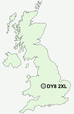
Postcode : DY8 2XL, Stourbridge, Dudley, West Midlands
Brake Lane, Hagley, Stourbridge.
Classification
DY8 2XL : Rural residents / Rural tenants / Rural white-collar workers
Local Authority Bromsgrove
Primary Care Trust Worcestershire
Ward Hagley West
Constituency Bromsgrove
Region West Midlands
Country England
Postcode Area DY : Dudley
DY8 Postcode Sectors
DY8 2XL Nearby Postcode Districts
B1 B10 B11 B12 B13 B14 B15 B16 B17 B18 B19 B2 B20 B21 B24 B25 B26 B27 B28 B29 B3 B30 B31 B32 B33 B34 B35 B36 B38 B4 B45 B47 B48 B5 B6 B60 B61 B62 B63 B64 B65 B66 B67 B68 B69 B7 B70 B8 B9 B90 B91 B92 B94 DY1 DY10 DY11 DY12 DY13 DY14 DY2 DY5 DY6 DY7 DY8 DY9 WV15 WV16
Stations near to DY8 2XL
Hagley Rail StationBlakedown Rail Station about 1.62 miles away.
Stourbridge Junction Rail Station about 1.84 miles away.
Stourbridge Junction Rail Station about 1.84 miles away.
Stourbridge Town Rail Station about 2.3 miles away.
Lye (West Midlands) Rail Station about 2.93 miles away.
DY8 2XL Schools
Haybridge High School and Sixth FormHagley Primary School
Ham Dingle Primary School
UK Search
Antique Jewellery
including Antique Engagement Rings for sale from UK Antique specialists.