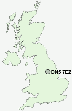
Postcode : DN5 7EZ, Harlington, Doncaster, South Yorkshire
Church Lane, Barnburgh, Doncaster.
DN5 7EZ close to Harlington and Barnburgh.
Classification
DN5 7EZ : Suburbanites / Semi-detached suburbia / Semi-detached ageing
Local Authority Doncaster
Primary Care Trust Doncaster
Ward Sprotbrough
Constituency Doncaster North
Region Yorkshire and The Humber
Country England
Postcode Area DN : Doncaster
DN5 Postcode Sectors
DN5 0 Almholme, Arksey, Bentley, New Village, Rostholme
DN5 7 Barnburgh, Brodsworth, Cadeby, Clayton, Harlington
DN5 7 Barnburgh, Brodsworth, Cadeby, Clayton, Harlington
DN5 7EZ Nearby Postcode Districts
DN1 DN10 DN11 DN12 DN2 DN3 DN4 DN5 DN6 DN7 DN8 DN9 S35 S36 S5 S61 S62 S63 S64 S65 S70 S71 S72 S73 S74 S75 WF9
Stations near to DN5 7EZ
Bolton-on-Dearne Rail Station about 1.55 miles away.Goldthorpe Rail Station about 1.86 miles away.
Mexborough Rail Station about 2.14 miles away.
Thurnscoe Rail Station about 2.22 miles away.
Conisbrough Rail Station about 2.7 miles away.
Swinton (South Yorks) Rail Station about 2.72 miles away.
DN5 7EZ Schools
Barnburgh Primary SchoolWindhill Primary School
Mexborough School
Mexborough Park Road Infant School
Mexborough Montagu Junior School
New Pastures Primary School
Mexborough Highwoods Primary School
Mexborough Doncaster Road Junior School
UK Search
Antique Jewellery
including Antique Engagement Rings for sale from UK Antique specialists.