Postcode : DN14 9RE, Goole, East Riding Of Yorkshire
Bourn Mill Balk Road, Snaith, Goole.
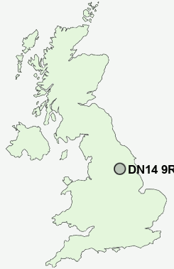
DN14 9RE close to West Cowick, Snaith and Gowdall.
Classification
DN14 9RE : Suburbanites / Semi-detached suburbia / Semi-detached ageing
Local Authority East Riding of Yorkshire
Primary Care Trust East Riding of Yorkshire
Ward Snaith, Airmyn, Rawcliffe and Marshland
Constituency Brigg and Goole
Region Yorkshire and The Humber
Country England
Postcode Area DN : Doncaster
DN14 Postcode Sectors
DN14 8 Adlingfleet, Airmyn, Little Airmyn, Little Reedness, Ousefleet
DN14 7 Asselby, Balkholme, Barmby on the Marsh, Bellasize, Blacktoft
DN14 0 Balne, Beal, Eggborough, Gowdall, Great Heck
DN14 7 Asselby, Balkholme, Barmby on the Marsh, Bellasize, Blacktoft
DN14 0 Balne, Beal, Eggborough, Gowdall, Great Heck
DN14 9RE Nearby Postcode Districts
DN14 DN15 DN6 DN8 LS25 WF10 WF11 WF6 WF7 WF8 WF9 YO8
Stations near to DN14 9RE
Snaith Rail Station about 0.42 miles away.DN14 9RE Schools
Snaith Primary SchoolThe Snaith School
Cowick Church of England Voluntary Controlled Primary School
Carlton-in-Snaith Community Primary School
Holy Family Catholic High School, Carlton
UK Search
Antique Jewellery
including Antique Engagement Rings for sale from UK Antique specialists.