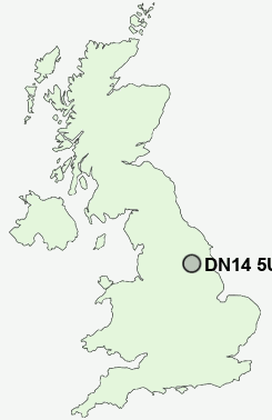
Postcode : DN14 5UE, Goole, East Riding Of Yorkshire
Hall Road, Goole.
Classification
DN14 5UE : Hard-pressed living / Migration and churn / Hard-Pressed European Settlers
Local Authority East Riding of Yorkshire
Primary Care Trust East Riding of Yorkshire
Ward Goole South
Constituency Brigg and Goole
Region Yorkshire and The Humber
Country England
Postcode Area DN : Doncaster
DN14 Postcode Sectors
DN14 8 Adlingfleet, Airmyn, Little Airmyn, Little Reedness, Ousefleet
DN14 7 Asselby, Balkholme, Barmby on the Marsh, Bellasize, Blacktoft
DN14 0 Balne, Beal, Eggborough, Gowdall, Great Heck
DN14 7 Asselby, Balkholme, Barmby on the Marsh, Bellasize, Blacktoft
DN14 0 Balne, Beal, Eggborough, Gowdall, Great Heck
DN14 5UE Nearby Postcode Districts
DN14 DN15 DN6 DN8 HU14 HU15 HU20 WF11 YO8
Stations near to DN14 5UE
Goole Rail Station about 0.96 miles away.DN14 5UE Schools
Marshlands Primary SchoolKingsway Primary School
Boothferry Primary School
St Joseph's Catholic Primary School
Swinefleet Primary School
Vermuyden School
Parkside Primary School
UK Search
Antique Jewellery
including Antique Engagement Rings for sale from UK Antique specialists.