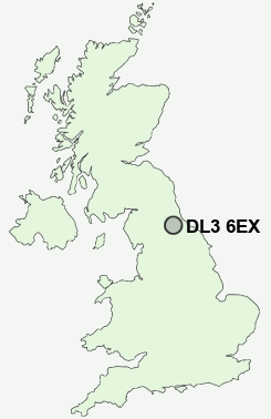
Postcode : DL3 6EX, Darlington
Reid Street, Darlington.
DL3 6EX close to Cockerton, Darlington, Rise Carr and Faverdale.
Classification
DL3 6EX : Urbanites / Urban professionals and families / Families in terraces and flats
Local Authority Darlington
Primary Care Trust Darlington
Ward Pierremont
Constituency Darlington
Region North East
Country England
Postcode Area DL : Darlington
DL3 Postcode Sectors
DL3 8 Blackwell, Cleasby, Hummersknott
DL3 0 Coatham Mundeville, Faverdale, Harrowgate Village, Rise Carr
DL3 0 Coatham Mundeville, Faverdale, Harrowgate Village, Rise Carr
DL3 6EX Nearby Postcode Districts
DL1 DL11 DL2 DL3 DL4 DL5 TS1 TS15 TS16 TS17 TS18 TS19 TS2 TS20 TS21 TS22 TS23 TS3 TS4 TS5 TS7 TS8
Stations near to DL3 6EX
North Road Rail Station about 0.44 miles away.Darlington Rail Station about 1.11 miles away.
DL3 6EX Schools
Reid Street Primary SchoolNorth Road Primary School
Gurney Pease Primary School
Abbey Infants' School
Longfield School
St Aidan's Church of England Academy
St Aidan's Church of England Academy
Branksome School
Hummersknott School and Language College
Haughton Community School
Springfield Primary School
Heathfield Primary School
UK Search
Antique Jewellery
including Antique Engagement Rings for sale from UK Antique specialists.